
Mining
Industry
Mining operations still lack continuous terrain visibility. Rockfalls, slope failures, and ground instability often develop between inspections, and today's monitoring is mostly periodic surveys, manual checks, and isolated instruments; so hazards are typically detected only after movement begins. The result is production interruptions, safety exposure, conservative operating buffers, and reactive remediation costs.
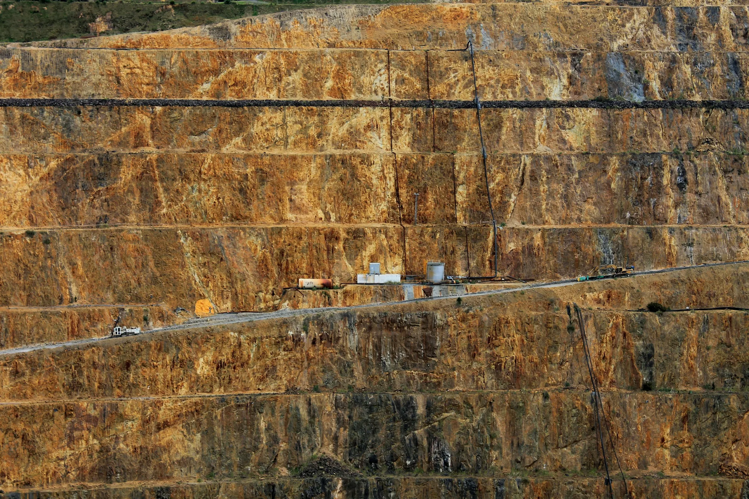
Slope Stability Monitoring
Highwalls and benches move long before they fail. Continuous 3D scanning tracks millimeter-scale displacement across every face in the pit, day and night, so acceleration is caught while it is still a trend and not an event. Alerts reach your team the moment movement crosses your thresholds, with the location, magnitude, and history attached.
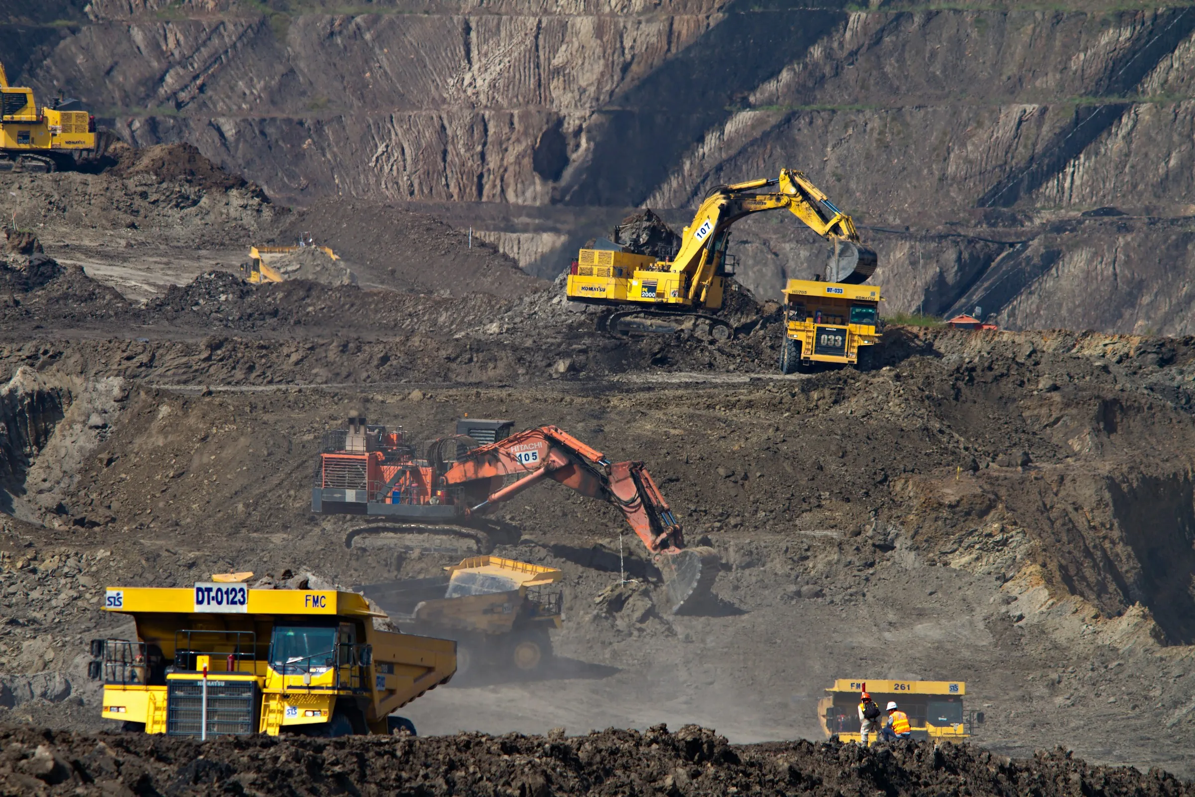
Equipment Tracking & Protection
Trucks, shovels, and drills spend every shift beneath walls that never stop changing. Continuous monitoring ties live ground conditions to the places your equipment actually works, flagging when movement encroaches on haul roads, dig faces, or laydown areas. Machines are pulled back and routes adjusted before rockfall reaches them, protecting the fleet and the people operating it.
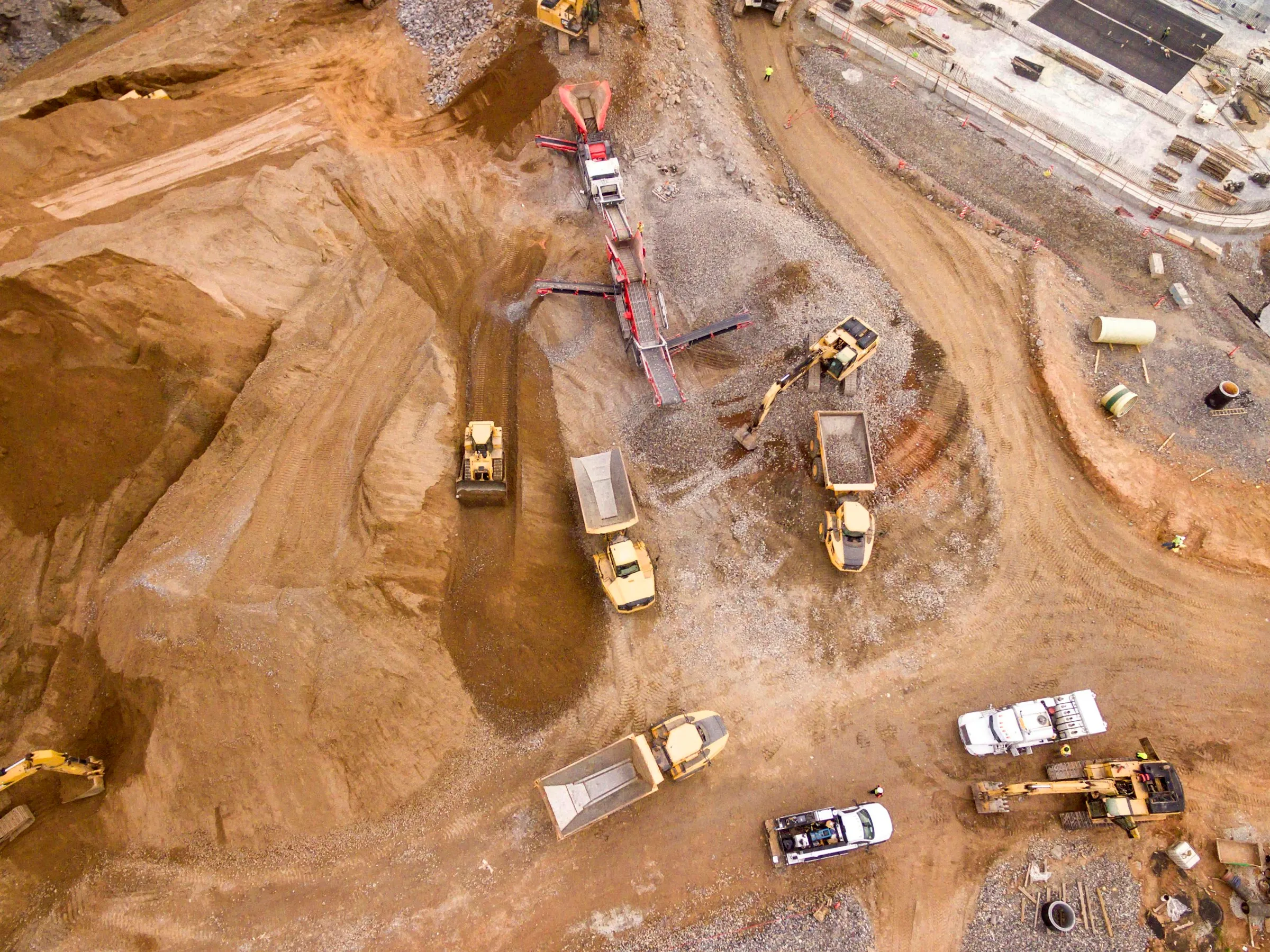
Change Detection
Every blast, storm, and freeze-thaw cycle reshapes the pit. Automated comparisons of successive 3D models surface what actually changed within hours, not weeks: new tension cracks, raveling faces, debris on catch benches. Results land as GIS-ready risk layers tied to your pit geometry, so nothing depends on someone noticing from the ground.