
“We were frustrated watching geohazard decisions get made off snapshots: a survey, a report, then weeks of hoping nothing changed.”
The Founders
Braden Kislin
CEO - Cofounder
Nafizur Rahman
CTO - Cofounder
The Team
Brandon Stair
Solutions Engineer
Joshua Singh
Solutions Engineer
Josh Soles
Railroad Business Development
Cascade Geomatics started as Cascade Dynamics—a student-led research group inside Oregon State University. We were frustrated watching geohazard decisions get made off snapshots: a survey, a report, then weeks of hoping nothing changed. Meanwhile storms, freeze–thaw, blasting, and runoff were quietly reshaping the ground.
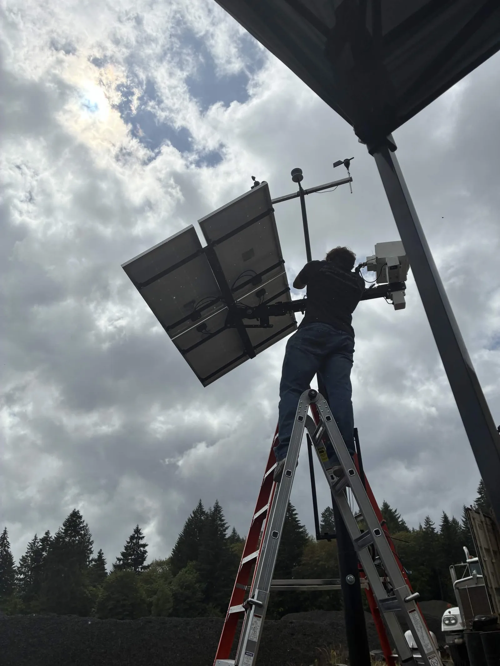
So we built. Early on, that meant duct-taped prototypes that looked questionable, long field days, and a lot of learning-by-breaking-things—hauling gear up Mount Hood in 100° heat or blistering cold, trying to prove we could reliably measure change where it actually matters.
By 2025, we turned the research into a company: persistent, automated 3D monitoring that's always on. The mission stayed simple—make geohazard risk not a “wait and see” problem. Today our platform combines rugged field sensing with analytics to turn complex corridors and mountain environments into live 3D digital twins, detecting subtle movement early and translating it into GIS-ready risk layers tied to real assets and mileposts.